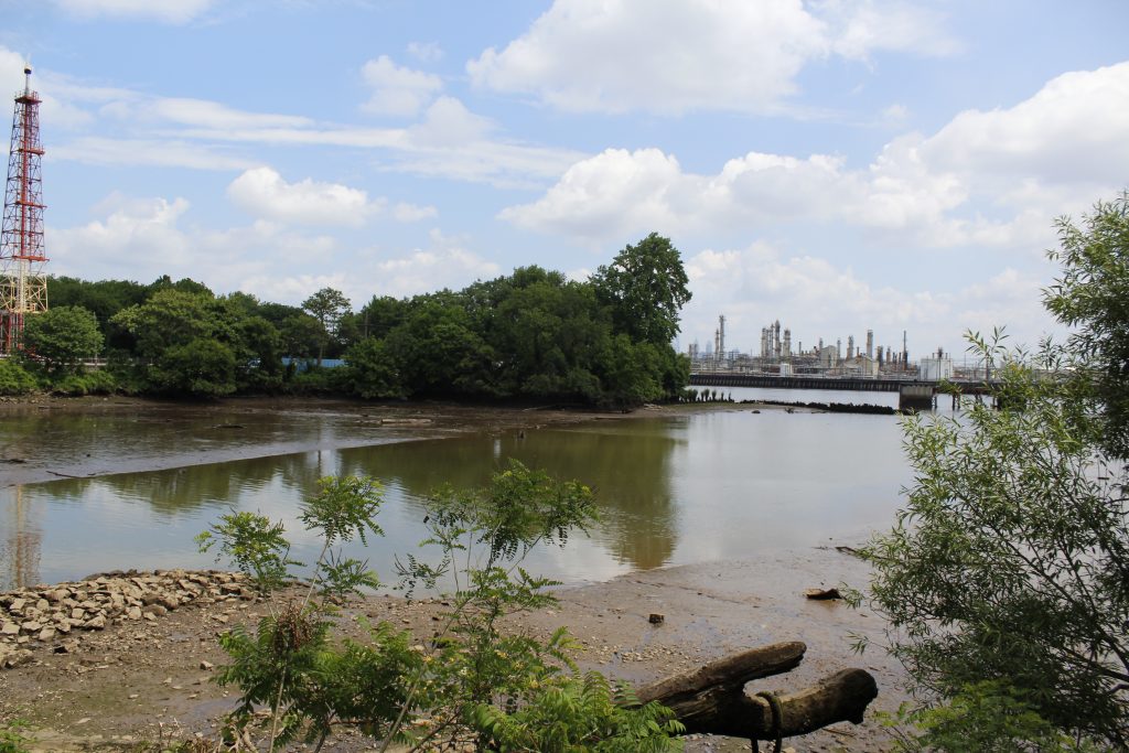
2018: Mouth of Mingo Creek with main refinery complex in the distance.
Courtesy of Penn Program in Environmental Humanities
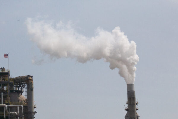
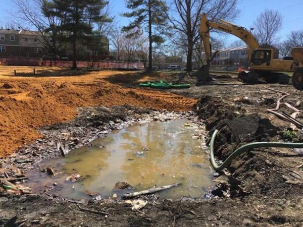
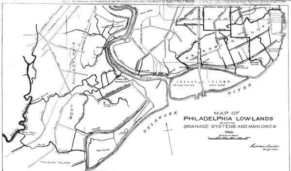
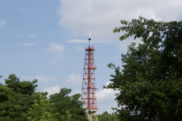
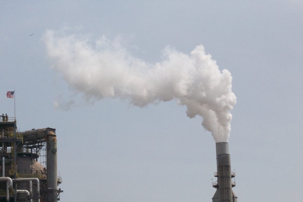
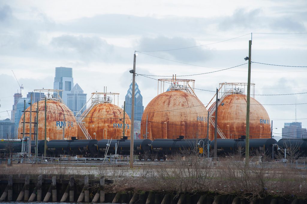
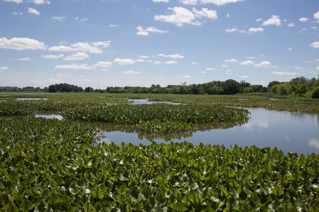
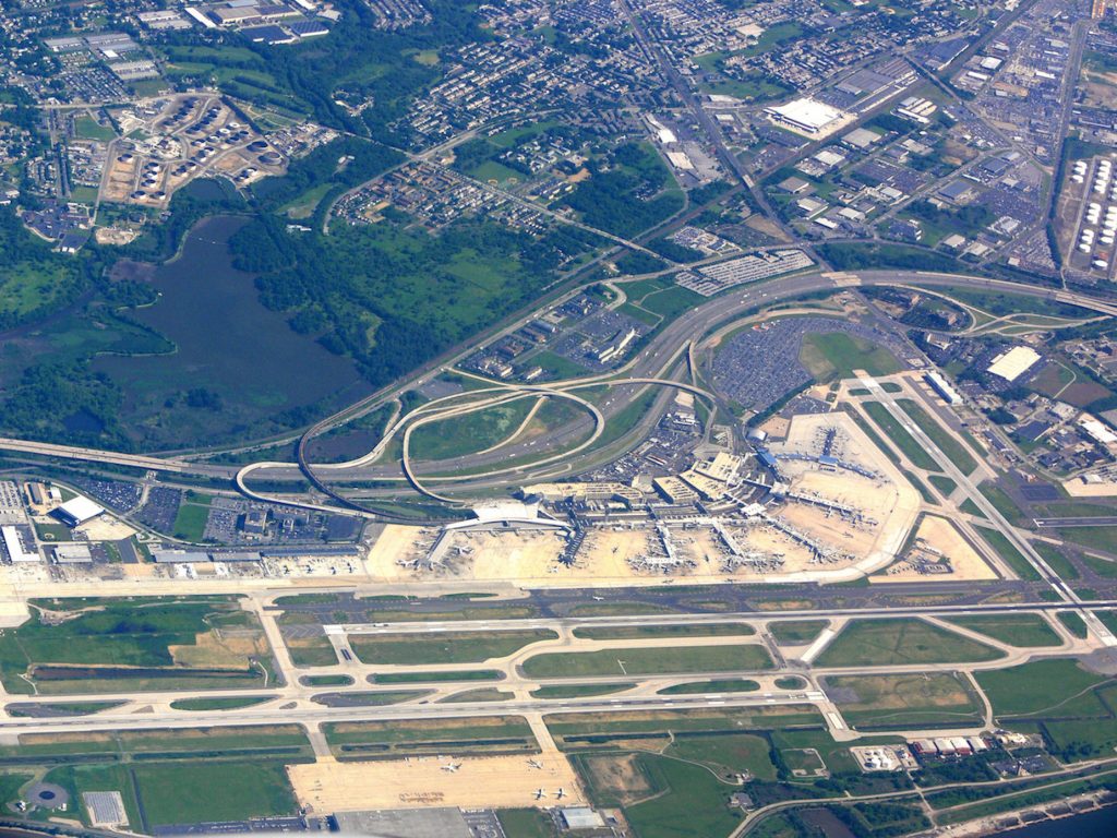
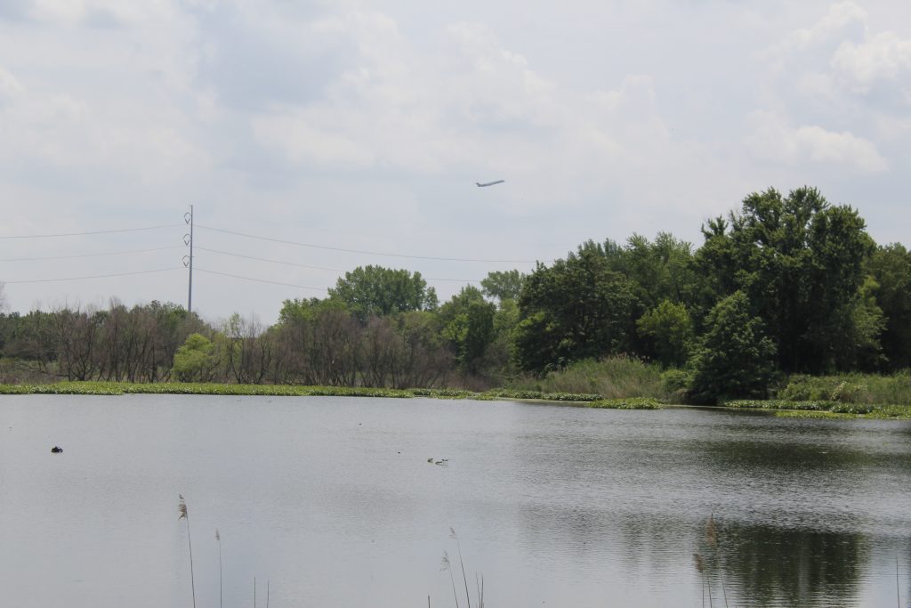
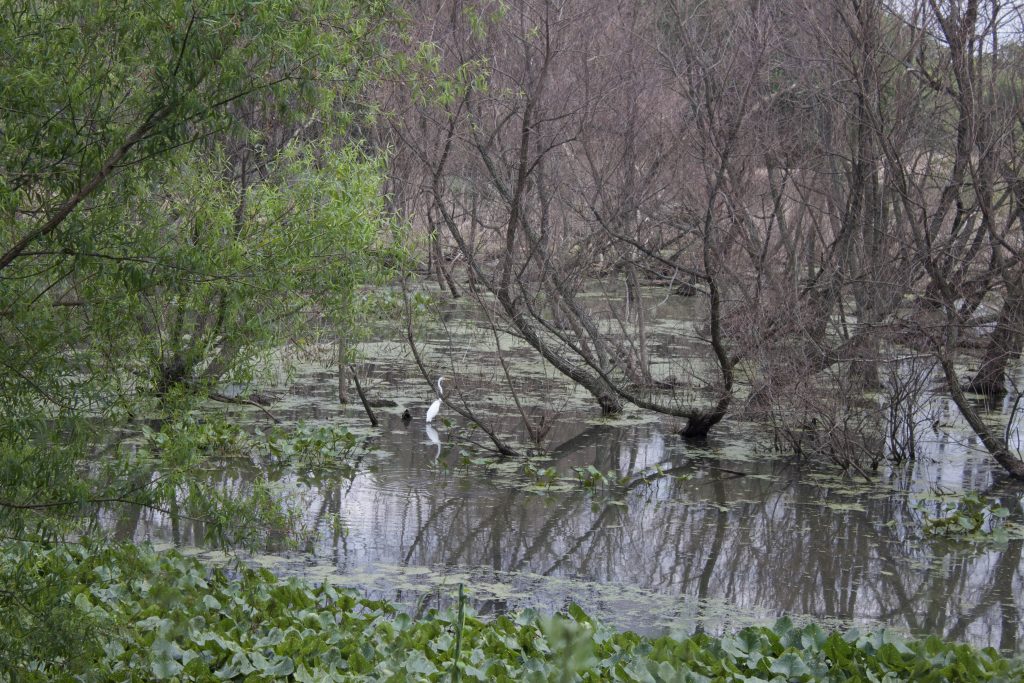
Atop six thousand acres of historic wetlands, between the International Airport and the oldest oil refinery in the US, lies Eastwick—Philadelphia’s lowest-elevation neighborhood. In an era of climate change and sea level rise, Eastwick is increasingly prone to storm surge and nuisance flooding.
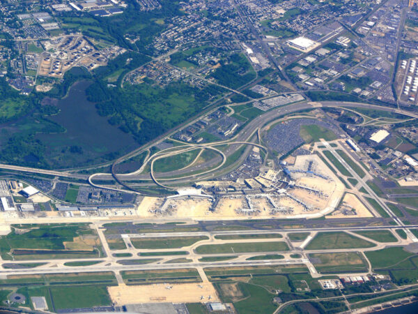
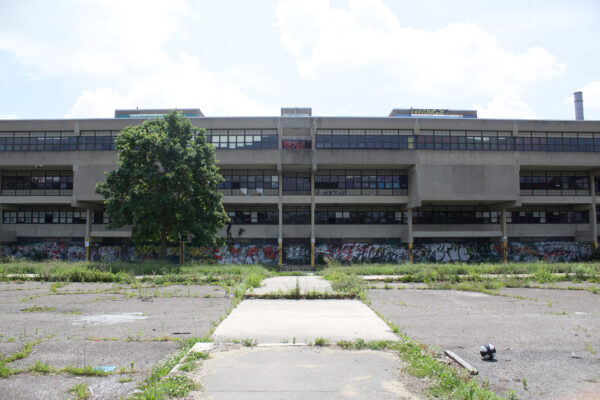
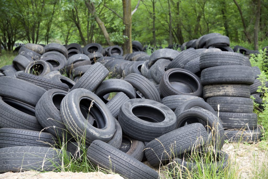
Encroachment on Eastwick began in the 1920s, when the Philadelphia International Airport was constructed on the outskirts of the neighborhood. In the 1950s, under the banner of urban renewal, the Philadelphia City Planning Commission displaced nearly half of Eastwick’s residents and radically reduced the extent of flood-mitigating tidal marshland.
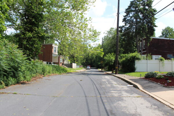
Today Eastwick is poised for a new chapter in its history—one in which neighbors collaborate to plan public land use in a climate of increasingly heavy rain events and surging seas. This chapter has already begun. In 2015, Eastwick neighbors stopped unwanted development and won a pledge from the City to include residents in future planning efforts.


Our Point of View
The Penn Program in Environmental Humanities (PPEH) explores the past, present, and future of urban ecologies and local impacts of the global climate crisis. For the past two years, students and faculty have been working with residents in Eastwick, a self-identified environmental justice community built on historic wetlands. We have learned how easily both corporate and governmental organizations can neglect community interests—and we have also witnessed the capacity of organized neighbors to support one another and nurture the social and built environments they need and want. With this exhibit, we hope to share Eastwick’s living histories with audiences across the country and perhaps even inspire more genuinely collaborative community planning efforts.
—University of Pennsylvania
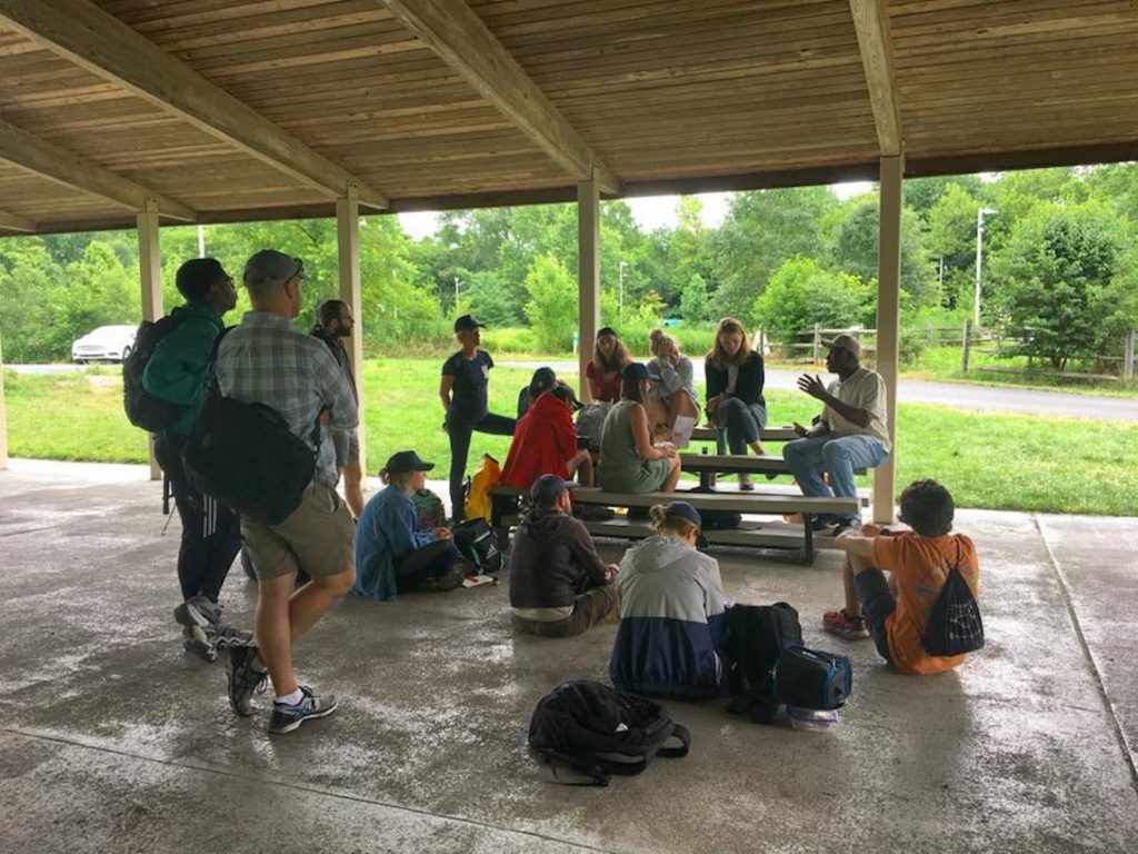
“It’s unbelievable when you get a group of about 30–40 people in a room and you find that we’re all on the same wavelength. I’m hoping that we have something worthwhile in the end. As far as I know, no one has ever done any research on Eastwick, you know, the real kind, like you’re doing.” —Margie Cobb, EFNC member, contributor to the Eastwick Living History Project
—Eastwick Friends and Neighbors Coalition
—John Heinz National Wildlife Refuge